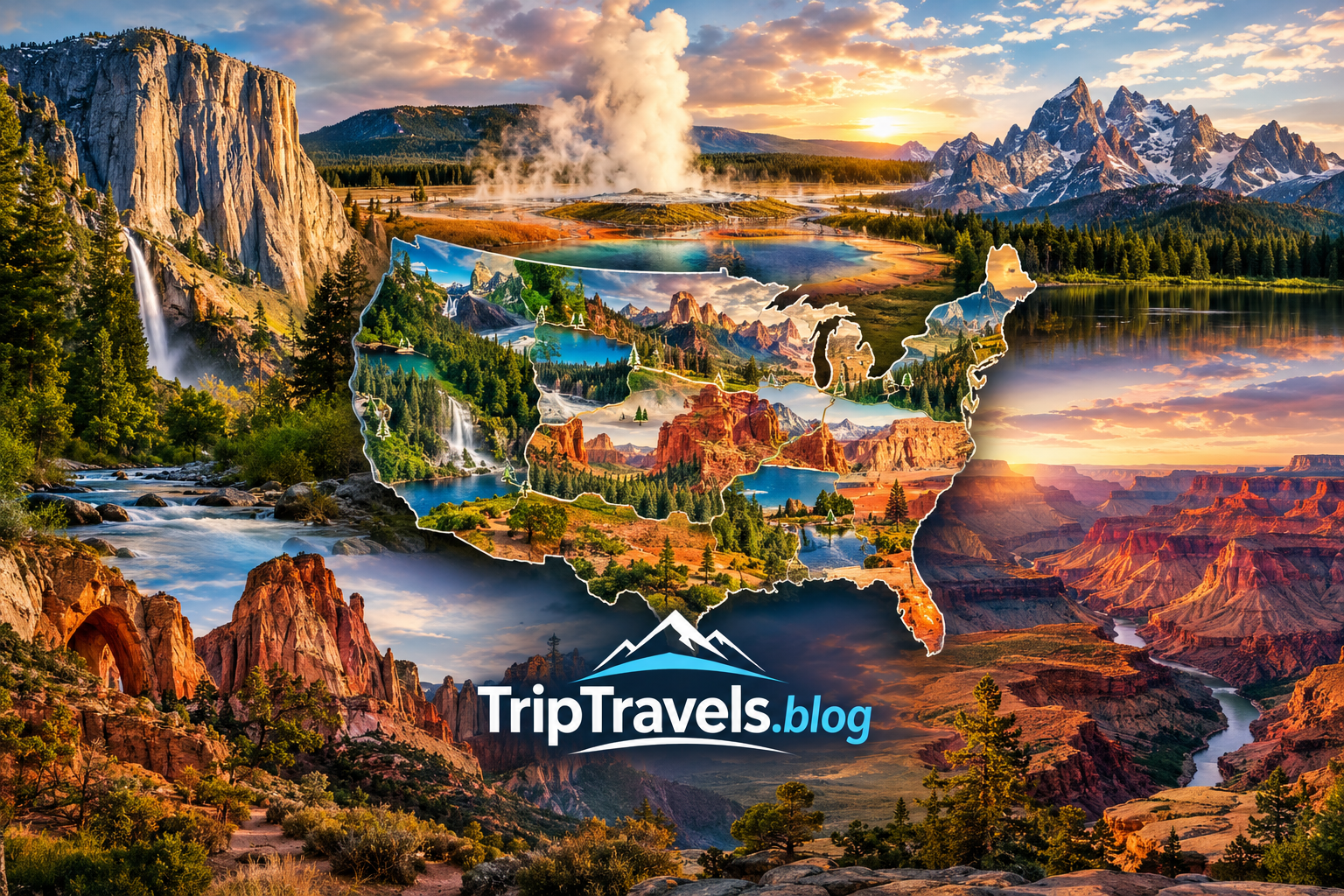
A national parks map is one of the most useful tools for planning a memorable American road trip The United States has more than sixty national parks spread across different regions and landscapes A good national parks map helps travelers understand where parks are located how far they are from one another and which parks […]
A national parks map is one of the most useful tools for planning a memorable American road trip
The United States has more than sixty national parks spread across different regions and landscapes
A good national parks map helps travelers understand where parks are located how far they are from one another and which parks can realistically be combined during one vacation
From the dramatic mountains of the West to the tropical scenery of the Southeast every national park offers a different experience
Using a national parks map before booking flights hotels or rental cars can help you build a more practical itinerary and avoid spending too much time driving between distant destinations
This guide explains how to use a national parks map how to choose parks by region when to visit what to budget and how to build smarter national park trips
How to Use a National Parks Map
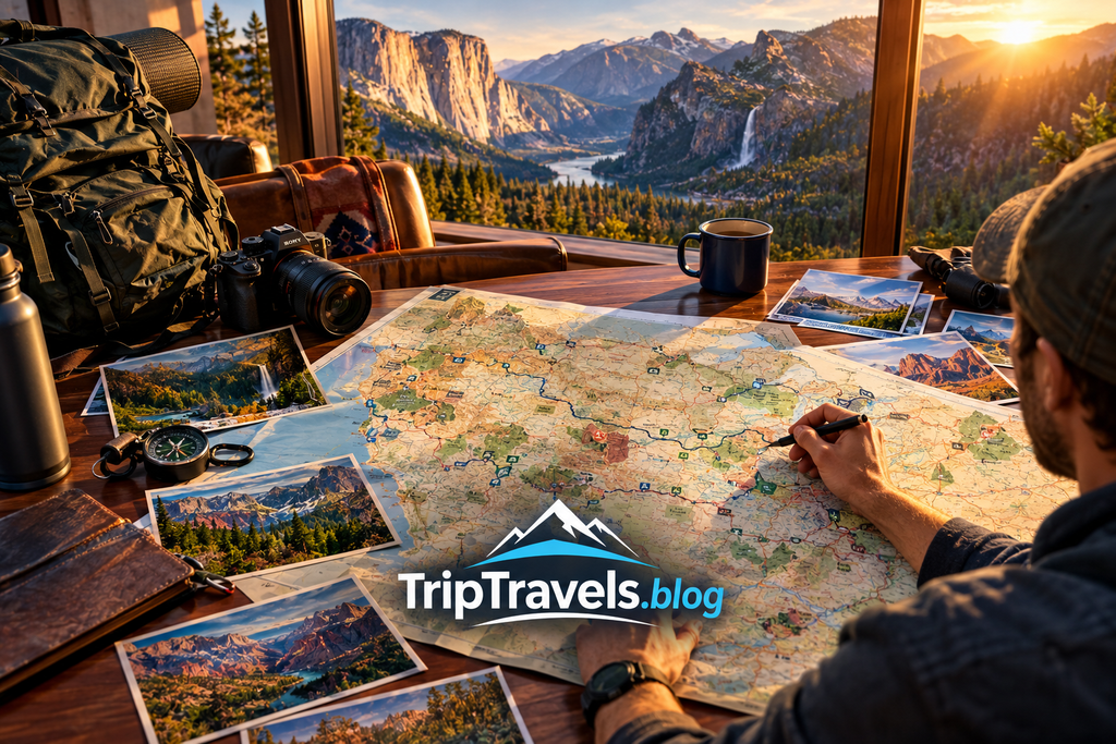
A national parks map gives you a visual overview of the parks across the United States
Instead of looking at parks one at a time you can see their geographic relationship and understand which destinations are close enough to visit together
This is especially useful for travelers planning road trips
A national parks map can help you identify western parks that work well together and eastern parks that are easier to combine with major cities
When using a national parks map look at these details
Park location
Distance between parks
Nearby airports
Major highways
Nearby towns
Camping areas
Popular attractions
Seasonal accessibility
The map is most useful when combined with an official park website because roads trails entrances fees and closures can change
National Parks Map by Region
A national parks map becomes much easier to understand when the parks are grouped by region
The western United States contains many of the most famous national parks and is especially popular for road trips
The Southwest includes dramatic desert landscapes while the Rocky Mountain region offers alpine scenery wildlife and mountain trails
California has several major national parks including Yosemite Sequoia Kings Canyon Joshua Tree and Death Valley
Utah is another major national park destination with Zion Bryce Canyon Capitol Reef Arches and Canyonlands
The Pacific Northwest offers mountain forests volcanoes and coastal scenery
The eastern United States has fewer national parks but several destinations can be combined with major cities and scenic road trips
Alaska and Hawaii offer some of the most remote and unusual national park experiences in the country
A national parks map lets you compare these regions before deciding where your vacation should begin
Best National Parks to Find on a National Parks Map
Some parks appear frequently on travel itineraries because they offer exceptional scenery accessibility and a wide variety of activities
Here are several major parks worth locating on a national parks map
Yosemite National Park
Yosemite is famous for granite cliffs waterfalls giant trees and mountain landscapes
It is one of the best choices for travelers who want a combination of scenic drives hiking photography and iconic viewpoints
Yellowstone National Park
Yellowstone is known for geysers hot springs wildlife and dramatic landscapes
A national parks map shows how large Yellowstone is and why travelers should allow several days rather than treating it as a quick stop
Grand Canyon National Park
The Grand Canyon is one of the most recognizable landscapes in the United States
Travelers can explore viewpoints hiking routes scenic drives and different areas of the canyon
Zion National Park
Zion is particularly popular for dramatic canyon scenery and hiking
Its location in southern Utah makes it a strong option for a Southwest national park road trip
Bryce Canyon National Park
Bryce Canyon is famous for its hoodoo formations
It can work well with Zion and other Utah parks because several major destinations are within a practical road trip region
Grand Teton National Park
Grand Teton offers spectacular mountain scenery lakes wildlife and outdoor recreation
It is also geographically close to Yellowstone making the two parks a popular combination
Great Smoky Mountains National Park
Great Smoky Mountains National Park is one of the most visited national parks in the country
Its forests mountains waterfalls and scenic roads make it suitable for families couples photographers and outdoor travelers
National Parks Map for a Western Road Trip
The western United States is ideal for travelers who want to build a national park road trip
A national parks map can help you organize parks into logical routes rather than jumping between destinations that are hundreds of miles apart
One popular approach is a Utah route
Las Vegas can serve as a convenient starting point for travelers flying into Nevada
From there travelers can build a route toward Zion Bryce Canyon Capitol Reef Arches and Canyonlands
Another popular route connects Yellowstone and Grand Teton
Travelers can also explore California parks together depending on the season and road conditions
A California route may include Yosemite Sequoia Kings Canyon and other scenic destinations
Do not try to visit every park shown on a national parks map during one trip
Choosing fewer parks and spending more time in each destination usually creates a better travel experience
National Parks Map for Families
Families can use a national parks map to identify destinations that match their children’s ages interests and physical abilities
Not every national park requires strenuous hiking
Many parks offer scenic drives viewpoints visitor centers short walks ranger programs and accessible attractions
Great Smoky Mountains can be a good choice for families who enjoy scenic drives and nature
Yellowstone can be exciting for children because of geothermal features and wildlife
Grand Canyon offers dramatic viewpoints and educational experiences
For families planning a road trip the distance between parks is especially important
A map can help prevent a common mistake where parents spend most of the vacation inside a car
Choose fewer destinations and include rest days whenever possible
National Parks Map for Hiking Adventures
Hikers should use a national parks map as a starting point rather than the only planning tool
The map shows where a park is located but it does not provide enough detail about individual trails
Before hiking check the official park website for trail conditions weather alerts seasonal closures and safety information
Zion offers famous canyon hiking experiences
Yosemite provides routes ranging from easy walks to challenging mountain hikes
Grand Canyon offers demanding elevation changes that can surprise inexperienced hikers
Rocky Mountain National Park provides alpine hiking and mountain scenery
Glacier National Park is another major destination for travelers seeking mountain trails and dramatic landscapes
A national parks map helps you choose the region while detailed park resources help you choose the right trail
Best Time to Use a National Parks Map
The best time to plan a national park vacation depends heavily on the region and the park
Summer is popular for many mountain parks because higher elevation roads and trails are more accessible
However summer can also bring crowds higher accommodation prices and busy roads
Spring can be excellent for lower elevation parks and desert destinations
Fall can provide cooler temperatures and beautiful scenery in many regions
Winter offers unique experiences but some roads facilities and trails may be closed
A national parks map becomes especially useful when comparing seasonal destinations
For example desert parks may be more comfortable during cooler months while northern mountain parks can have significant winter limitations
Always check current official conditions before traveling
National Parks Map and Travel Costs
A national parks map can also help reduce travel costs
Long driving distances increase fuel expenses and may require additional hotel nights
Choosing parks that are geographically close can reduce transportation costs
Your national park budget may include
Park entrance fees
Transportation
Rental car
Fuel
Hotels
Camping
Food
Travel insurance
Equipment
Activities
Emergency expenses
Travelers can save money by booking accommodation outside the most expensive gateway communities
Camping can also reduce lodging costs when campsites are available and appropriate for your trip
However camping requires advance planning because popular sites can fill quickly
A map can help you compare nearby towns and identify alternative accommodation areas
Where to Stay Near National Parks
Where you stay can have a major effect on your national park experience
Staying close to a park entrance reduces driving time but may cost more
Staying farther away may offer cheaper hotels but requires additional travel each day
Gateway towns can provide restaurants groceries fuel hotels and other services
When planning with a national parks map compare the park entrance with nearby communities
For longer trips consider changing hotels instead of using one hotel as a base for every destination
This can reduce unnecessary backtracking and make your itinerary more efficient
Travelers should book popular accommodation early during peak seasons
Prices and availability change frequently so always confirm current rates before making a reservation
Getting Around National Parks
A national parks map helps you understand the overall destination but transportation inside a park can vary significantly
Some parks are easy to explore by personal vehicle
Other parks use shuttle systems during busy seasons or in popular areas
Large parks can involve long driving distances between major viewpoints
Rental cars are useful for many western national park road trips
However travelers should check road conditions before driving into mountain or desert areas
Fuel stations may be limited in remote regions
Keep your fuel tank reasonably full and carry sufficient water and basic emergency supplies
Do not depend completely on mobile phone service because remote areas may have weak or unavailable coverage
National Parks Map and Common Planning Mistakes
A national parks map can prevent several common travel mistakes
One mistake is trying to visit too many parks during one vacation
Another is underestimating driving distances
Travelers may see several parks close together on a map but still need to account for mountain roads traffic construction and park entrances
Another mistake is planning without checking seasonal conditions
Some mountain roads do not operate year round
Another mistake is assuming every park has restaurants hotels fuel stations and reliable mobile service
Remote parks require more preparation
A smart itinerary leaves extra time for weather delays unexpected road conditions and spontaneous stops
National Parks Map for a Seven Day Trip
A seven day national park vacation should focus on a small number of destinations
Trying to cover five or six major parks can make the trip exhausting
A better strategy is choosing one main park and one or two nearby destinations
For example a Utah trip could focus on Zion and Bryce Canyon
A Wyoming trip could combine Grand Teton and Yellowstone
A California trip could focus on Yosemite with additional nearby attractions depending on seasonal road access
Use your national parks map to measure distances before booking accommodation
Build your itinerary around realistic driving times rather than simply counting destinations
This approach gives you more time for hiking photography wildlife viewing and relaxation
National Parks Map for a Two Week Adventure
Two weeks gives travelers more flexibility
You can combine several parks if the route is geographically efficient
A western trip might focus on Utah
Another option could connect Yellowstone and Grand Teton with nearby scenic areas
California can also support a longer road trip with several parks and other attractions
The most important rule is to avoid excessive backtracking
Your national parks map should help you create a loop whenever possible
A loop route can save time because you do not need to drive the same road repeatedly
Before finalizing the itinerary calculate realistic driving time and include rest stops
National Parks Map and Safety Tips
National parks offer incredible experiences but outdoor conditions can change quickly
Carry enough water especially in desert environments
Check weather conditions before hiking
Stay on designated trails when required
Keep a safe distance from wildlife
Follow posted rules and ranger instructions
Do not approach wild animals for photographs
Tell someone about your hiking plans when exploring remote areas
Bring appropriate clothing for changing temperatures
Download important information before entering areas with weak service
In mountain parks weather can change quickly
In desert parks heat can become dangerous
In wildlife areas animals may appear near roads and trails
A national parks map helps with orientation but responsible preparation is essential
National Parks Map and Travel Tools
Several tools can make national park planning easier
An official National Park Service map is one of the most reliable starting points for locating parks and understanding park boundaries
Google Maps can help estimate driving routes but should not replace official park information
Official park websites provide current information about closures fees permits alerts and visitor services
Offline maps are valuable when traveling through remote areas
A printed map can also be useful when mobile service is unavailable
Before departure save important addresses reservation information emergency contacts and park information to your phone
Good preparation makes a national parks map much more useful during the actual trip
National Parks Map and Internal Travel Planning
A national parks map can connect naturally with other travel resources on TripTravels.blog
Travelers researching parks may also benefit from a guide to national parks in California
Another useful resource is a practical guide to things to do in nearby major cities before or after a national park trip
A travel planning guide can also help readers compare road trip costs accommodation choices and transportation options
Use descriptive internal links such as national parks in California guide
Best things to do near your destination
National park road trip planning guide
These links can help readers move naturally from research to detailed trip planning
National Parks Map for Different Types of Travelers
Different travelers should use a national parks map differently
Families should focus on accessibility short walks scenic drives and nearby services
Couples may prefer scenic viewpoints romantic lodges photography and relaxed itineraries
Solo travelers should pay extra attention to navigation communication weather and trail preparation
Hikers should study elevation trail distance conditions and difficulty
Photographers should consider sunrise sunset seasons and viewpoint access
Budget travelers should compare camping gateway towns fuel costs and free activities
Luxury travelers may prefer premium lodging private transportation and high quality dining outside the park
The best national parks map is the one that helps you build an itinerary around your personal travel style
Table of Contents
FAQs
What is the best national parks map for planning a trip
An official National Park Service map is an excellent starting point because it provides reliable geographic information about national parks
You can combine it with digital navigation tools for driving directions and detailed route planning
How many national parks are in the United States
The United States has more than sixty national parks
The exact number can depend on how national park units are counted because the National Park Service manages many different types of protected sites
What national parks are closest together
Several parks can be combined efficiently depending on the region
Utah is especially popular because Zion Bryce Canyon Capitol Reef Arches and Canyonlands can be incorporated into broader road trips
What is the best national park for a first visit
There is no single best choice for everyone
Yosemite Yellowstone Grand Canyon Zion and Great Smoky Mountains are strong choices because they offer iconic scenery and a wide range of visitor experiences
Can I visit multiple national parks in one week
Yes
The key is choosing parks that are geographically close
Use a national parks map to avoid spending most of your vacation driving
What should I bring to a national park
Bring water appropriate clothing comfortable footwear food or snacks navigation tools a charged phone and any required hiking or camping equipment
Your exact packing list should depend on the season and activity
Are national parks expensive to visit
Costs vary significantly
Transportation accommodation food and activities can become more expensive than the park entrance fee itself
Planning a route with nearby parks can reduce fuel and accommodation costs
Should I stay inside or outside a national park
Both options can work
Inside park lodging can reduce driving but may be limited and expensive
Gateway towns often provide more accommodation choices
Can I rely on mobile phone service in national parks
No
Many remote areas have limited or no mobile service
Download important maps and information before entering remote areas
Conclusion
A national parks map is more than a picture showing where parks are located
It is a practical trip planning tool that helps travelers compare destinations understand distances build efficient routes and choose parks that match their interests
Whether you are planning a short family vacation a romantic getaway a hiking adventure or a long western road trip a national parks map can help you make better decisions
Start by choosing a region
Select a few parks that fit your schedule
Check official information for current conditions
Compare accommodation and transportation costs
Then build an itinerary that leaves enough time to actually enjoy each destination
The best national park trip is not the one that visits the most parks
It is the one that gives you enough time to experience the places you choose